I'm sure there have been other divers on this wreck before since its a very prominent sore thumb in the NOAA data, but historically people have not been good with sharing information about wrecks in the lake. (Which we aim to change)
The coordinates for this wreck was obtained from NOAA multi beam bathymetry data that was converted to a Geo TIFF image with Fledermaus Geo Spatial Software and overlaid in Google Earth.
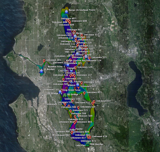
By just quickly doing a visual scan through the sonar image of Lake Washington in Google Earth, we were able to locate at least a 100 or more "targets".. Here is a screenshot of all the currently unkown targets we have identified in Google Earth.
For this dive we picked a target based on which of the bigger targets are still "unknown" to us and that looked interesting.
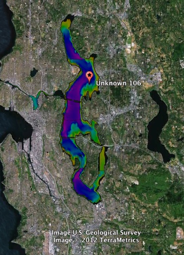
Zooming into the general area for that target, you can see its among many other known and unknown wrecks.
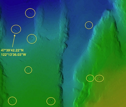
Coordinates for this Wreck:
47°39'42.22"N
122°13'36.03"W
Then we double checked the 3D sonar data in Fledermaus to make sure it doesnt look like a bunch of rocks..
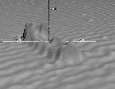
From the above 3D data it for sure looked like there is at least some super structure intact and the hull appears to be almost about 100 feet long and its resting at the bottom of the lake in 150 feet of fresh water in that particular area.. (BTW, Google Earth depth's are about 20ft deeper than actual.. it showed 170, but the wreck was only 150)
We decided to go out and dive this target! Mike was gracious enough to make his boat available for this adventure!
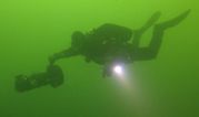
Mike Racine, Joe Radesoevic, Koos du Preez and Kees Beemster set out on Saturday morning November 24th to go check out this target.
We dropped down to 150 feet where we found the shot line RIGHT next to the wreck! Well done Pete and Mike for an amazing drop!
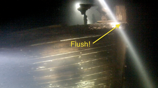
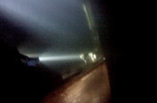
We quickly realized that the sonar data was lying and there was zero super structure left.. This was a burnt out old wooden hull..
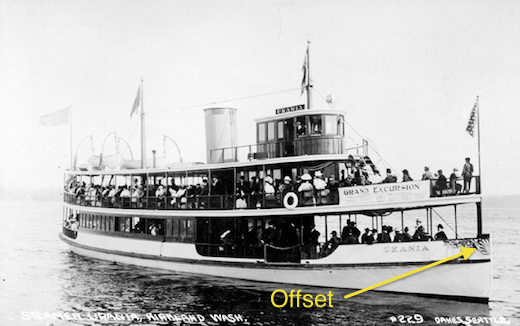
We did find a number of bricks on the aft deck that kinda makes it look like this was purposely burnt and scuttled.. And from looking at the stern and stem, it sure looked like an old 1890's or early 1900's steamer boat.
There was not any identifying marks at all on the hull that we could find and all the everything of value was pulled out prior to it going down. (Engines, prop, etc.)
This is probably an old steamer tug or small passenger ferry in the Mosquito fleet.
After about 20 minutes on the wreck, we've seen everything we possibly could on this wreck and called the dive. Not a very interesting dive, but still very very cool to locate a wreck on NOAA Sonar imagery, go explore it and dive on circa 1890 steam boat wreck!
Here is a quick video recap of our dive. LOTS of assumptions made here based on what I saw.. Any feedback and input would be highly appreciated from those with lots of historical maritime knowledge
http://vimeo.com/54272707